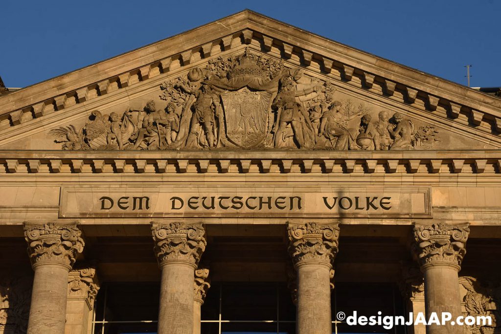
[March 7, 2019] Last month designJAAP has made architectonic photos of the capital of Germany: Berlin.

Berlin is the largest city of Germany by both area and population. Its 3,7 million inhabitants make it the second most populous city proper of the European Union after London. The city is one of Germany’s 16 federal states. It is surrounded by the state of Brandenburg, and contiguous with its capital, Potsdam. The two cities are at the center of the Berlin-Brandenburg capital region, which is, with about six million inhabitants and an area of more than 30,000 km², Germany’s third-largest metropolitan region after the Rhine-Ruhr and Rhine-Main regions.
Berlin straddles the banks of the River Spree, which flows into the River Havel in the western borough of Spandau. Among the city’s main topographical features are the many lakes in the western and southeastern boroughs formed by the Spree, Havel, and Dahme rivers (the largest of which is Lake Müggelsee). Due to its location in the European Plain, Berlin is influenced by a temperate seasonal climate. About one-third of the city’s area is composed of forests, parks, gardens, rivers, canals and lakes.
First documented in the 13th century and situated at the crossing of two important historic trade routes, Berlin became the capital of the Margraviate of Brandenburg (1417–1701), the Kingdom of Prussia (1701–1918), the German Empire (1871–1918), the Weimar Republic (1919–1933), and the Third Reich (1933–1945). Berlin in the 1920s was the third largest municipality in the world. After World War II and its subsequent occupation by the victorious countries, the city was divided; West Berlin became a de facto West German exclave, surrounded by the Berlin Wall (1961–1989) and East German territory. East Berlin was declared capital of East Germany, while Bonn became the West German capital. Following German reunification in 1990, Berlin once again became the capital of all of Germany.
Here is an architectonic impression of the town of Berlin.